(Photo Courtesy of Mary Ruden)
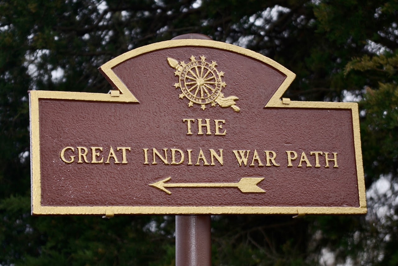
This handsome sign in Boyds Creek points out the route of the Great Indian Warpath, the interstate highway of its day. Thousands of years ago, before mankind arrived on the continent, large animals such as bison and mastodon created a network of trails across North America. When the first Paleoindians arrived at least 10,000 years ago, they followed the paths and river crossings of the animals. One such trail is the Great Indian War and Trading Path, stretching from what is now upstate New York to Alabama. It crossed the French Broad River near the mouth of Boyds Creek itself; for thousands of years, Indigenous people lived and hunted in the area. The Tuckaleechee and Southeastern Trail branched off from it. The trail would more accurately have been called the Great Trading Path. Warriors and hunters used it, but its most important use in prehistoric times was for trading such items as seeds, seashells, copper and specialty stone for tools — and new ideas. Later, European settlers used it to move into the fertile area south of the French Broad. Today, many of our roads, locally and across the Southeast, follow the contours of the Warpath.
Learn more about the Warpath and its loca legacy in From the Mouth of Boyds Creek – A History of Seymour, TN and the Boyds Creek Valley. Pre-orders are now being taken for the book, which will be available in October. All proceeds benefit Friends of Seymour Library, a non-profit organization that supports Williams Family Seymour Branch Library.
To be notified at publication, contact Colleen Shannon at bakhom@earthlink.net or Anna Garber at annadgarber@gmail.com. To pre-order, click the link at the top right of this page.
Price is $25.00 plus $3.99 for shipping.
Comments are closed